Alerts
tune
Layers
radar
cell_tower
Fetching live alerts
Severe Outlook — Day 1 — Overall
Loading discussions…
Watch — Conditions favor tornado development. Prepare now.
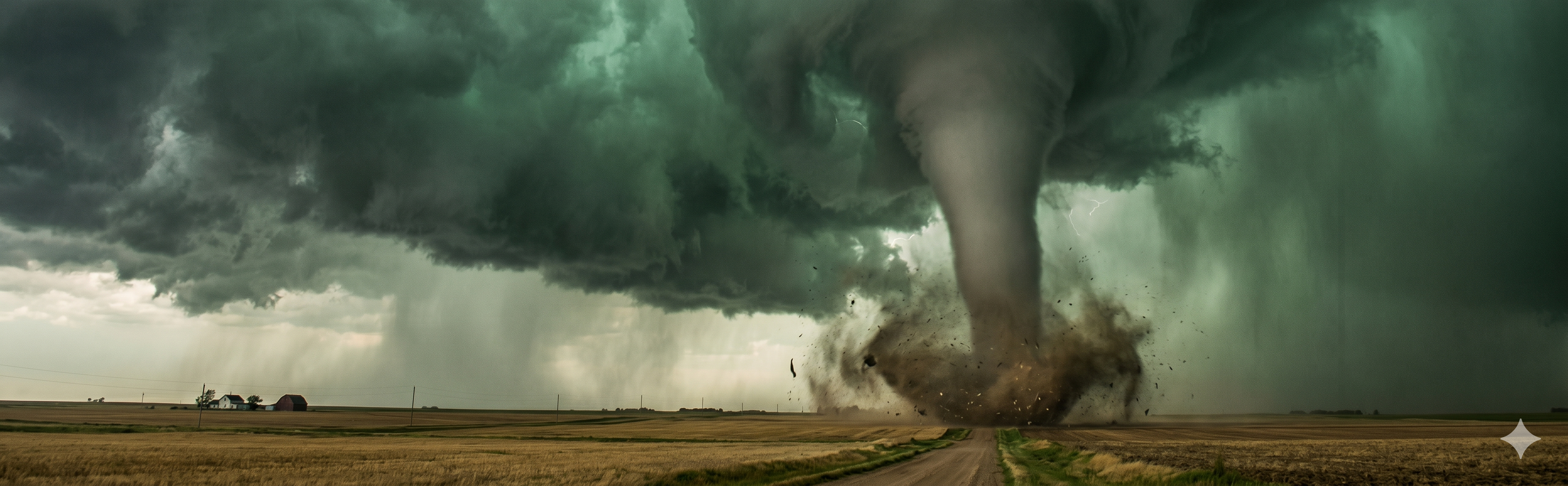
Warning — A tornado is confirmed. Take cover immediately.
Emergency — Violent tornado threatening populated area. Extreme danger.
EF Scale
EF065–85 mphBroken branches, minor roof damage.
EF186–110 mphRoofs peeled off, mobile homes overturned.
EF2111–135 mphRoofs torn off well-built homes, large trees snapped.
EF3136–165 mphEntire stories destroyed, trains overturned.
EF4166–200 mphWell-built homes leveled, cars launched.
EF5200+ mphTotal destruction. Reinforced structures damaged.
arrow_downward
Go to the lowest floor, interior room. Cover your head.
do_not_disturb_on
Never shelter under an overpass. It channels wind.
directions_car
Abandon your vehicle. Find a sturdy building or lie flat.

Watch — Severe storms are possible. Be ready to act.
Warning — Severe storm occurring. Expect 58+ mph winds or 1"+ hail.
Destructive — 70+ mph winds or 2"+ hail. Major damage likely.
Wind Impacts
58–70 mphDamagingBranches, minor roofing, power outages.
71–80 mphSignificantTree damage, partial roof failures, widespread outages.
81–100 mphSevereRoofs removed, vehicles pushed, extended outages.
100+ mphExtremeDerecho-level. Catastrophic structural and vehicle damage.
home
Get inside immediately. Avoid porches and open garages.
visibility
Watch for rotation — severe storms can spawn tornadoes suddenly.

Size & Impacts
¼" PeaNuisanceNo significant property damage.
¾" PennySevereSoft metal dents, crop and paint damage.
1" QuarterDamagingVehicle dents, roofing damage. Injury risk.
1¾" Golf BallSignificantBroken windows, holes in roofing. Serious injury.
2½" BaseballDestructiveBroken windshields, structural roof damage.
4" GrapefruitExtremeCatastrophic damage. Potentially fatal.
garage
Get vehicles indoors before hail arrives.
home
Stay away from windows — large hail shatters glass.
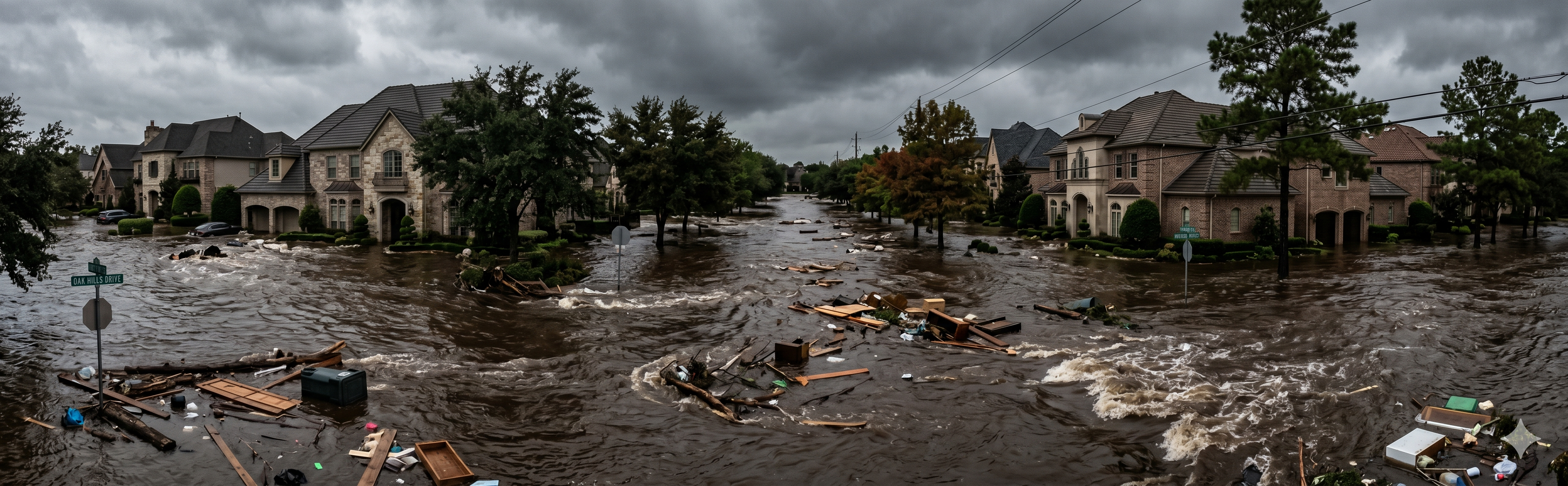
Watch — Flash flooding possible. Monitor and be ready to move.
Warning — Flash flooding occurring or imminent. Move to higher ground now.
Emergency — Life-threatening flooding in progress. Evacuate immediately.
directions_car
Turn around, don't drown. 6 inches can knock you down; 12 inches sweeps a car.
arrow_upward
Move to higher ground immediately. Don't wait.
landscape
Stay away from streams — they flood violently even without local rain.

No official watch or warning exists for lightning. It can strike 10+ miles from a storm — even under clear skies.
home
30-30 Rule: Under 30 sec to thunder? Go inside. Wait 30 min after the last clap.
water
Avoid all water — pools, lakes, even indoor showers conduct electricity.
park
Crouch low in a clearing. Avoid trees, hilltops, and open fields.